Bashley Crossroads
Introduction
The photograph on this page of Bashley Crossroads by mike smith as part of the Geograph project.
The Geograph project started in 2005 with the aim of publishing, organising and preserving representative images for every square kilometre of Great Britain, Ireland and the Isle of Man.

There are currently over 7.5m images from over 14,400 individuals and you can help contribute to the project by visiting https://www.geograph.org.uk
Bashley Crossroads
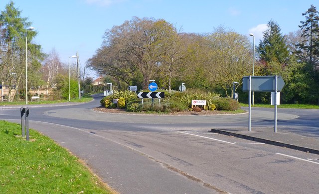
Image: © mike smith Taken: 3 Apr 2012
This was a traditional crossroads until about 30 years ago, when the roundabout was constructed.
Images are licensed for reuse under creativecommons.org/licenses/by-sa/2.0
Image Location
Latitude
50.768122
Longitude
-1.656928