The Agivey River at Cullycapple
Introduction
The photograph on this page of The Agivey River at Cullycapple by Albert Bridge as part of the Geograph project.
The Geograph project started in 2005 with the aim of publishing, organising and preserving representative images for every square kilometre of Great Britain, Ireland and the Isle of Man.

There are currently over 7.5m images from over 14,400 individuals and you can help contribute to the project by visiting https://www.geograph.org.uk
The Agivey River at Cullycapple
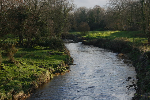
Image: © Albert Bridge Taken: 2 Dec 2006
The Agivey River is some 13 miles long and rises beyond Garvagh. It flows into the River Bann close to the Agivey Bann bridge Image to the SW of Ballymoney. This is the river, looking upstream, from the Cullycapple bridge near Aghadowey.
Images are licensed for reuse under creativecommons.org/licenses/by-sa/2.0
Image Location
Latitude
55.023875
Longitude
-6.601357