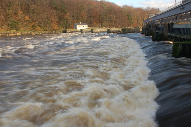
Floodgates, River Bann near Coleraine (2)
Introduction
The photograph on this page of Floodgates, River Bann near Coleraine (2) by Albert Bridge as part of the Geograph project.
The Geograph project started in 2005 with the aim of publishing, organising and preserving representative images for every square kilometre of Great Britain, Ireland and the Isle of Man.
There are currently over 7.5m images from over 14,400 individuals and you can help contribute to the project by visiting https://www.geograph.org.uk

Image: © Albert Bridge Taken: 2 Dec 2006
The Lower Bann flows from Lough Neagh to the Atlantic at the Barmouth near Castlerock. Water levels in the lough are controlled by 3 sets of flood gates. This is a view of the gates (on the downstream side) at the Cutts (“Cuts” on OS map) near Coleraine. According to the Rivers Agency “Incremental adjustment of floodgates is practised, whenever possible, in order to minimise impact on the range of environmental and other interests associated with the lough”. The Bann was in flood after several days of heavy rain.

