Airport Road, Belfast
Introduction
The photograph on this page of Airport Road, Belfast by Rossographer as part of the Geograph project.
The Geograph project started in 2005 with the aim of publishing, organising and preserving representative images for every square kilometre of Great Britain, Ireland and the Isle of Man.

There are currently over 7.5m images from over 14,400 individuals and you can help contribute to the project by visiting https://www.geograph.org.uk
Airport Road, Belfast
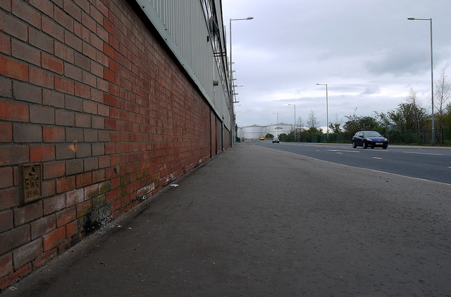
Image: © Rossographer Taken: 2 Apr 2012
Road running through the eastern part of the Belfast Harbour Estate. The road was probably first laid out c1920 and is marked on maps from that time as the Connswater Road; it was probably renamed later when it ran to the new aerodrome (opened 1933) which was formed on the reclaimed land at Sydenham. This aerodrome is now George Best Belfast City Airport http://www.geograph.org.uk/search.php?i=30014158 and is mainly accessed from the Sydenham bypass, although there is (non-public) access from Airport Road. The Bombardier factory is on the left, this first opened in 1936 Image The BHC marker on the wall can be seen at Image
Images are licensed for reuse under creativecommons.org/licenses/by-sa/2.0
Image Location
Latitude
54.609562
Longitude
-5.88967