Neilston countryside
Introduction
The photograph on this page of Neilston countryside by Alec MacKinnon as part of the Geograph project.
The Geograph project started in 2005 with the aim of publishing, organising and preserving representative images for every square kilometre of Great Britain, Ireland and the Isle of Man.

There are currently over 7.5m images from over 14,400 individuals and you can help contribute to the project by visiting https://www.geograph.org.uk
Neilston countryside
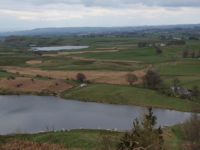
Image: © Alec MacKinnon Taken: 1 Apr 2012
This view looks east from the top of Neilston Pad over several of the farms in the area, towards Newton Mearns in the distance. Snypes Dam (Image) is in the foreground, and Walton Dam (e.g. Image) beyond.
Images are licensed for reuse under creativecommons.org/licenses/by-sa/2.0
Image Location
Latitude
55.767695
Longitude
-4.411809