Open farmland north of Yate
Introduction
The photograph on this page of Open farmland north of Yate by Jonathan Billinger as part of the Geograph project.
The Geograph project started in 2005 with the aim of publishing, organising and preserving representative images for every square kilometre of Great Britain, Ireland and the Isle of Man.

There are currently over 7.5m images from over 14,400 individuals and you can help contribute to the project by visiting https://www.geograph.org.uk
Open farmland north of Yate
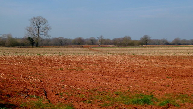
Image: © Jonathan Billinger Taken: 23 Mar 2012
Looking north-west across an unploughed stubble field towards Engine Common.
Images are licensed for reuse under creativecommons.org/licenses/by-sa/2.0
Image Location
Latitude
51.557539
Longitude
-2.422874