Jubilee River Above Marsh Lane Weir
Introduction
The photograph on this page of Jubilee River Above Marsh Lane Weir by Colin Smith as part of the Geograph project.
The Geograph project started in 2005 with the aim of publishing, organising and preserving representative images for every square kilometre of Great Britain, Ireland and the Isle of Man.

There are currently over 7.5m images from over 14,400 individuals and you can help contribute to the project by visiting https://www.geograph.org.uk
Jubilee River Above Marsh Lane Weir
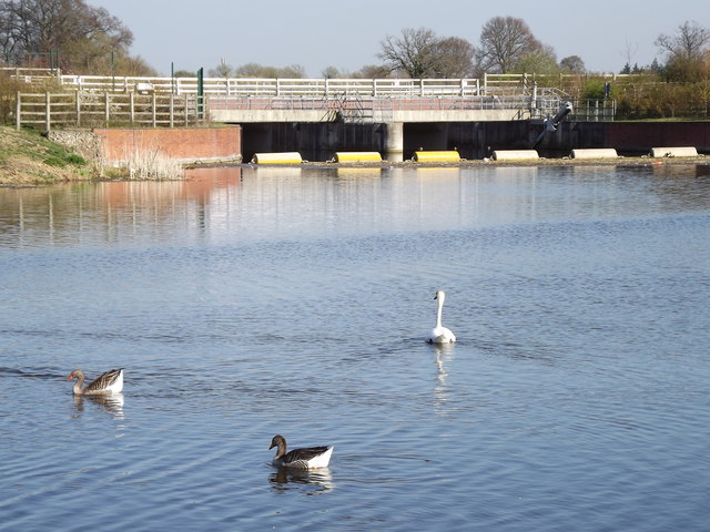
Image: © Colin Smith Taken: 28 Mar 2012
Geese and swans on the placid waters of this new flood prevention scheme. http://www.jubileeriver.co.uk/
Images are licensed for reuse under creativecommons.org/licenses/by-sa/2.0
Image Location
Latitude
51.514516
Longitude
-0.684658