Disused tube tracks just beyond Epping tube station
Introduction
The photograph on this page of Disused tube tracks just beyond Epping tube station by Ed of the South as part of the Geograph project.
The Geograph project started in 2005 with the aim of publishing, organising and preserving representative images for every square kilometre of Great Britain, Ireland and the Isle of Man.

There are currently over 7.5m images from over 14,400 individuals and you can help contribute to the project by visiting https://www.geograph.org.uk
Disused tube tracks just beyond Epping tube station
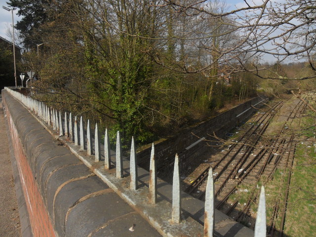
Image: © Ed of the South Taken: 2 Apr 2012
View of the tracks of the former tube line from Epping to Ongar, from the Bower Hill bridge.
Images are licensed for reuse under creativecommons.org/licenses/by-sa/2.0
Image Location
Latitude
51.694117
Longitude
0.113889