Pasture Field at Withial
Introduction
The photograph on this page of Pasture Field at Withial by Nigel Mykura as part of the Geograph project.
The Geograph project started in 2005 with the aim of publishing, organising and preserving representative images for every square kilometre of Great Britain, Ireland and the Isle of Man.

There are currently over 7.5m images from over 14,400 individuals and you can help contribute to the project by visiting https://www.geograph.org.uk
Pasture Field at Withial
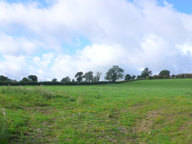
Image: © Nigel Mykura Taken: 18 Sep 2011
All the fields at Withial are long and narrow and of approximately the same size. They run at right angles to the contours and some are quite steep such as this pasture field between Withial Farm and High Withial Farm.
Images are licensed for reuse under creativecommons.org/licenses/by-sa/2.0
Image Location
Latitude
51.130518
Longitude
-2.607172