Stream in Morden Park
Introduction
The photograph on this page of Stream in Morden Park by Robin Webster as part of the Geograph project.
The Geograph project started in 2005 with the aim of publishing, organising and preserving representative images for every square kilometre of Great Britain, Ireland and the Isle of Man.

There are currently over 7.5m images from over 14,400 individuals and you can help contribute to the project by visiting https://www.geograph.org.uk
Stream in Morden Park
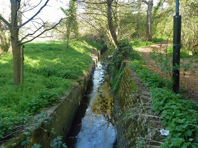
Image: © Robin Webster Taken: 1 Apr 2012
This is just upstream of what is labelled as Bow Lane Screen, where the stream becomes culverted. It looks as if it may eventually feed into Pyl Brook.
Images are licensed for reuse under creativecommons.org/licenses/by-sa/2.0
Image Location


Leaflet Map data © OpenStreetMap
Latitude
51.391339
Longitude
-0.216466