Lower Withial Farm
Introduction
The photograph on this page of Lower Withial Farm by Nigel Mykura as part of the Geograph project.
The Geograph project started in 2005 with the aim of publishing, organising and preserving representative images for every square kilometre of Great Britain, Ireland and the Isle of Man.

There are currently over 7.5m images from over 14,400 individuals and you can help contribute to the project by visiting https://www.geograph.org.uk
Lower Withial Farm
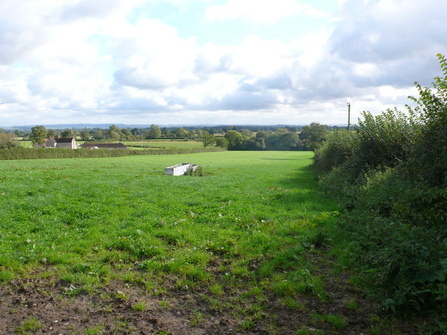
Image: © Nigel Mykura Taken: 18 Sep 2011
The loose hamlet of Withial seems to consist of just three farms. Although this is called "Lower Withial" it is actually on the same contour as Withial Farm. This is the pasture field with water trough just above the farm. Higher Withial farm is near the top of this hill.
Images are licensed for reuse under creativecommons.org/licenses/by-sa/2.0
Image Location
Latitude
51.127384
Longitude
-2.604702