Bench Mark, Elsted
Introduction
The photograph on this page of Bench Mark, Elsted by Maigheach-gheal as part of the Geograph project.
The Geograph project started in 2005 with the aim of publishing, organising and preserving representative images for every square kilometre of Great Britain, Ireland and the Isle of Man.

There are currently over 7.5m images from over 14,400 individuals and you can help contribute to the project by visiting https://www.geograph.org.uk
Bench Mark, Elsted
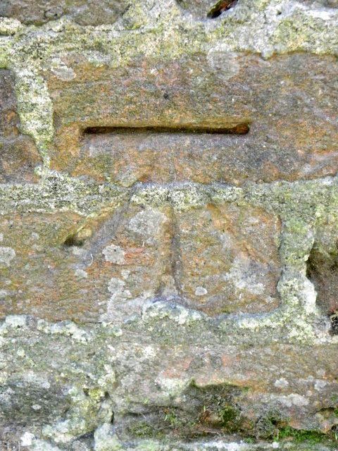
Image: © Maigheach-gheal Taken: 25 Mar 2012
The Ordnance Survey bench mark is to be found on the roadside wall of the Three Horseshoes public house. For a wider view of the wall Image and for further information on the cut mark and others in the area http://www.bench-marks.org.uk/bm42286
Images are licensed for reuse under creativecommons.org/licenses/by-sa/2.0
Image Location


Leaflet Map data © OpenStreetMap
Latitude
50.970558
Longitude
-0.836381