Saltmarket tenements
Introduction
The photograph on this page of Saltmarket tenements by kim traynor as part of the Geograph project.
The Geograph project started in 2005 with the aim of publishing, organising and preserving representative images for every square kilometre of Great Britain, Ireland and the Isle of Man.

There are currently over 7.5m images from over 14,400 individuals and you can help contribute to the project by visiting https://www.geograph.org.uk
Saltmarket tenements
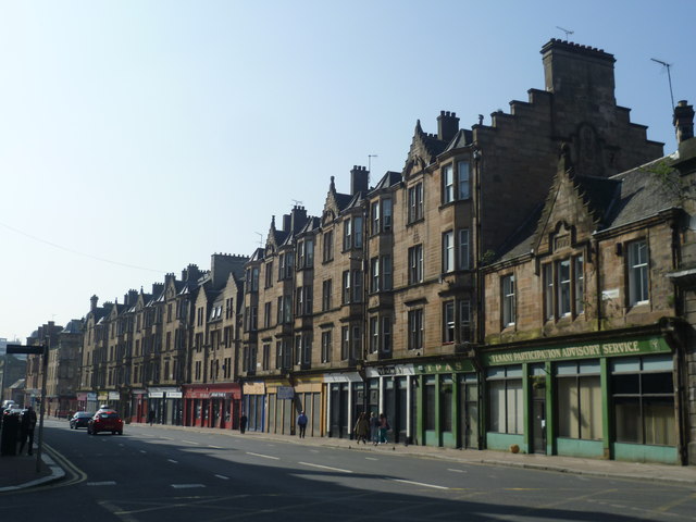
Image: © kim traynor Taken: 26 Mar 2012
"The social implications [of [industrialisation] were profound. It was the age of the urban peasantry: tens of thousands flocked to west-central Scotland from the Highlands and from Ireland. A grim existence awaited them. Cramped, insanitary and hurriedly erected housing: a working day of 14 hours (longer after the advent of gas lighting) for men, women and children alike; dirty and dangerous working conditions, subsistence pay and inadequate diet: in all these lay the paradox, intuitively familiar to the modern Scot, of a nation's wealth being built on the poverty of its people. Diseases—smallpox, cholera, rickets, tuberculosis—shrivelled the physical stature of the Scots-Irish people and killed them in numbers which only continuing waves of immigration could keep economically viable. Average life-expectancy in Glasgow in the late 19th century was 30; 16 years below the national figure. As late as the eve of the World War I, nearly two-thirds of the city's population lived in homes with two or fewer rooms; and nearly 15 per cent of children died before the age of one." -- Keith Aitken, The Economy, Anatomy Of Scotland, 1992
Images are licensed for reuse under creativecommons.org/licenses/by-sa/2.0
Image Location
Latitude
55.855609
Longitude
-4.245003