Sileby Malt House Pub
Introduction
The photograph on this page of Sileby Malt House Pub by the bitterman as part of the Geograph project.
The Geograph project started in 2005 with the aim of publishing, organising and preserving representative images for every square kilometre of Great Britain, Ireland and the Isle of Man.

There are currently over 7.5m images from over 14,400 individuals and you can help contribute to the project by visiting https://www.geograph.org.uk
Sileby Malt House Pub
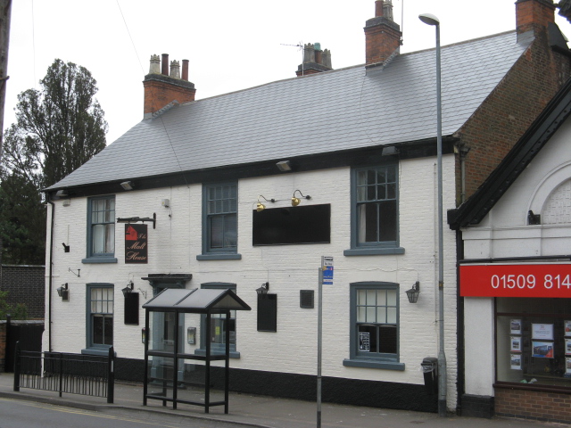
Image: © the bitterman Taken: 31 Mar 2012
16 High Street. Modernised village pub, previously the Duke of York.
Images are licensed for reuse under creativecommons.org/licenses/by-sa/2.0
Image Location


Leaflet Map data © OpenStreetMap
Latitude
52.730207
Longitude
-1.111009