Beesmoor Brook
Introduction
The photograph on this page of Beesmoor Brook by Terry Jacombs as part of the Geograph project.
The Geograph project started in 2005 with the aim of publishing, organising and preserving representative images for every square kilometre of Great Britain, Ireland and the Isle of Man.

There are currently over 7.5m images from over 14,400 individuals and you can help contribute to the project by visiting https://www.geograph.org.uk
Beesmoor Brook
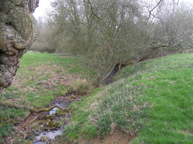
Image: © Terry Jacombs Taken: 30 Mar 2012
The brook here is only a few tens of yards from where it rises. It flows north to join the Isboune near Winchcombe.
Images are licensed for reuse under creativecommons.org/licenses/by-sa/2.0
Image Location
Latitude
51.916047
Longitude
-1.949358