Rubbish beside the Dunlop-Neilston road
Introduction
The photograph on this page of Rubbish beside the Dunlop-Neilston road by Alec MacKinnon as part of the Geograph project.
The Geograph project started in 2005 with the aim of publishing, organising and preserving representative images for every square kilometre of Great Britain, Ireland and the Isle of Man.

There are currently over 7.5m images from over 14,400 individuals and you can help contribute to the project by visiting https://www.geograph.org.uk
Rubbish beside the Dunlop-Neilston road
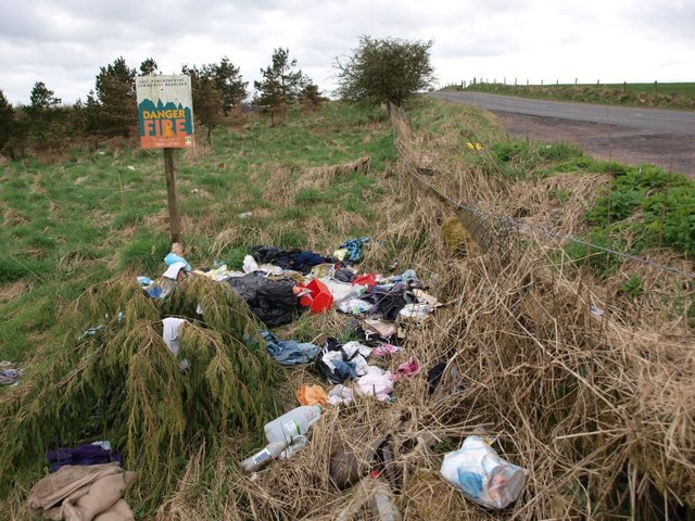
Image: © Alec MacKinnon Taken: 1 Apr 2012
A little layby at the side of this road is convenient for Craighall Dam and walks round Neilston Pad. It also seems to be a dumping ground for a remarkable array of domestic rubbish as well as the expected drinks bottles etc. At upper right we see the road as it heads south.
Images are licensed for reuse under creativecommons.org/licenses/by-sa/2.0
Image Location
Latitude
55.766027
Longitude
-4.441678