Oakenshaw Wildlife Reserve
Introduction
The photograph on this page of Oakenshaw Wildlife Reserve by Mark Whidby as part of the Geograph project.
The Geograph project started in 2005 with the aim of publishing, organising and preserving representative images for every square kilometre of Great Britain, Ireland and the Isle of Man.

There are currently over 7.5m images from over 14,400 individuals and you can help contribute to the project by visiting https://www.geograph.org.uk
Oakenshaw Wildlife Reserve
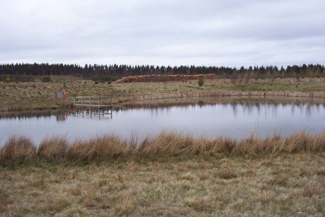
Image: © Mark Whidby Taken: 10 Apr 2004
Once known as The Hundred Acre Plantation, this land was developed as an opencast coal mine. Following the completion of the coal extraction it was converted into Oakenshaw Wildlife Reserve.
Images are licensed for reuse under creativecommons.org/licenses/by-sa/2.0
Image Location
Latitude
54.729371
Longitude
-1.683199