Keithing burn
Introduction
The photograph on this page of Keithing burn by James Allan as part of the Geograph project.
The Geograph project started in 2005 with the aim of publishing, organising and preserving representative images for every square kilometre of Great Britain, Ireland and the Isle of Man.

There are currently over 7.5m images from over 14,400 individuals and you can help contribute to the project by visiting https://www.geograph.org.uk
Keithing burn
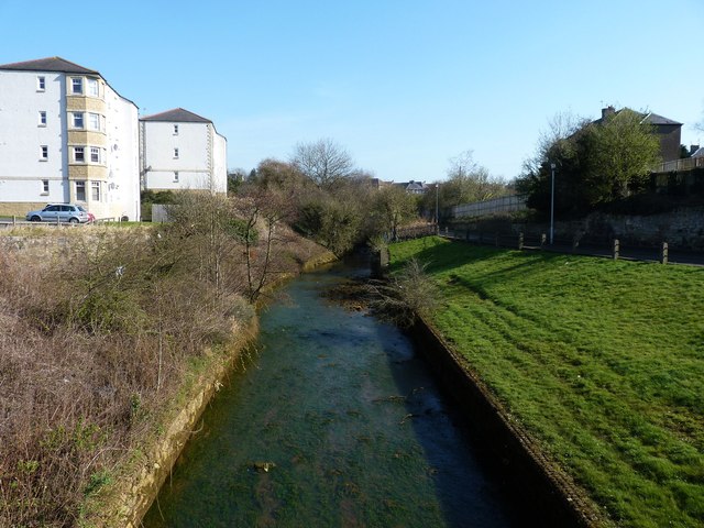
Image: © James Allan Taken: 26 Mar 2012
The stream from which the town of Inverkeithing derives its name.
Images are licensed for reuse under creativecommons.org/licenses/by-sa/2.0
Image Location
Latitude
56.030756
Longitude
-3.393157