Name board, Catholic Church of the Most Holy Redeemer, Porthmadog
Introduction
The photograph on this page of Name board, Catholic Church of the Most Holy Redeemer, Porthmadog by Jaggery as part of the Geograph project.
The Geograph project started in 2005 with the aim of publishing, organising and preserving representative images for every square kilometre of Great Britain, Ireland and the Isle of Man.

There are currently over 7.5m images from over 14,400 individuals and you can help contribute to the project by visiting https://www.geograph.org.uk
Name board, Catholic Church of the Most Holy Redeemer, Porthmadog
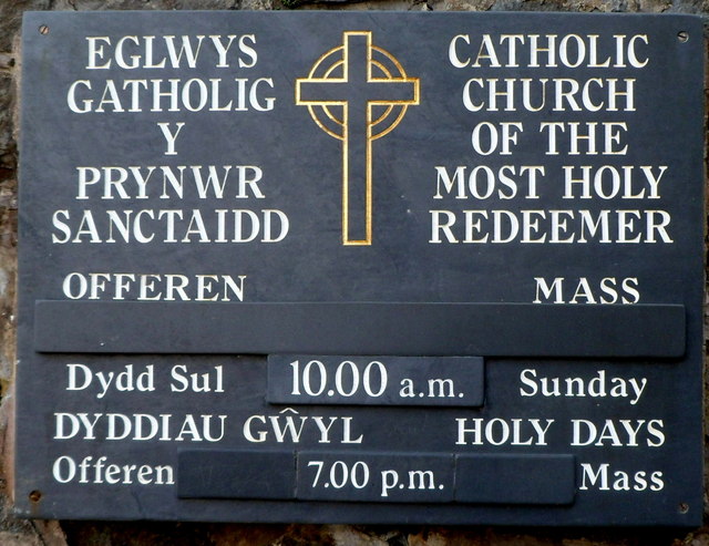
Image: © Jaggery Taken: 23 Mar 2012
The nameboard on the NW side of the church http://www.geograph.org.uk/photo/2875675 is made of slate.
Images are licensed for reuse under creativecommons.org/licenses/by-sa/2.0
Image Location
Latitude
52.924736
Longitude
-4.133101