Newburn Council Houses
Introduction
The photograph on this page of Newburn Council Houses by Kevin Hall as part of the Geograph project.
The Geograph project started in 2005 with the aim of publishing, organising and preserving representative images for every square kilometre of Great Britain, Ireland and the Isle of Man.

There are currently over 7.5m images from over 14,400 individuals and you can help contribute to the project by visiting https://www.geograph.org.uk
Newburn Council Houses
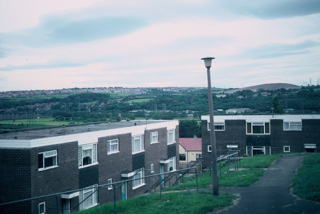
Image: © Kevin Hall Taken: 1 Aug 1989
Newburn council house looking broadly South in mid/late 1989. This image is mainly for historical purposes as these buildings were substantially renovated during this period. The photograph looks South towards Blaydon/Ryton area.
Images are licensed for reuse under creativecommons.org/licenses/by-sa/2.0
Image Location
Latitude
54.98293
Longitude
-1.739334