Near Audleby Top
Introduction
The photograph on this page of Near Audleby Top by David Wright as part of the Geograph project.
The Geograph project started in 2005 with the aim of publishing, organising and preserving representative images for every square kilometre of Great Britain, Ireland and the Isle of Man.

There are currently over 7.5m images from over 14,400 individuals and you can help contribute to the project by visiting https://www.geograph.org.uk
Near Audleby Top
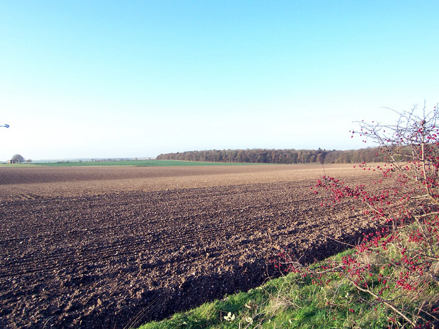
Image: © David Wright Taken: 29 Nov 2006
Photo taken from the Great Limber to Caistor road. On the left horizon is Audleby Top Farm Image The wood to the right is Brompton Dale in TA1205.
Images are licensed for reuse under creativecommons.org/licenses/by-sa/2.0
Image Location


Leaflet Map data © OpenStreetMap
Latitude
53.528725
Longitude
-0.3043