Footpath towards Pentre Farm
Introduction
The photograph on this page of Footpath towards Pentre Farm by John Haynes as part of the Geograph project.
The Geograph project started in 2005 with the aim of publishing, organising and preserving representative images for every square kilometre of Great Britain, Ireland and the Isle of Man.

There are currently over 7.5m images from over 14,400 individuals and you can help contribute to the project by visiting https://www.geograph.org.uk
Footpath towards Pentre Farm
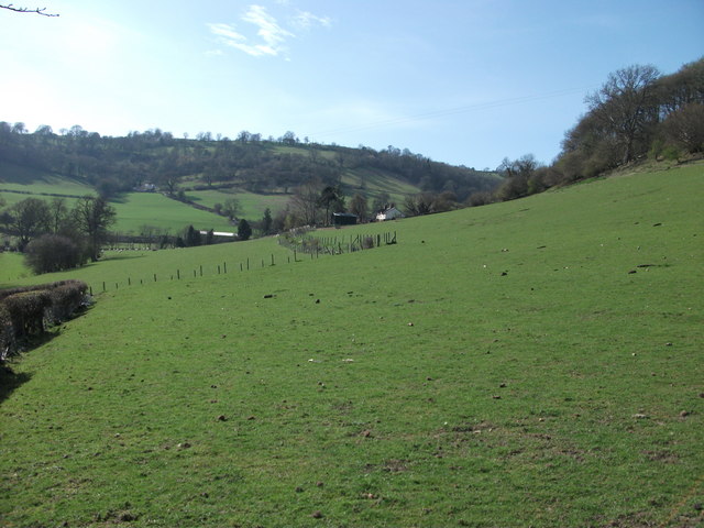
Image: © John Haynes Taken: 29 Mar 2012
A well grazed field shows no trace of the footpath, so had to go back to map reading but the fence is clear on the map.
Images are licensed for reuse under creativecommons.org/licenses/by-sa/2.0
Image Location
Latitude
52.938144
Longitude
-3.140464