Audleby Top Farm
Introduction
The photograph on this page of Audleby Top Farm by David Wright as part of the Geograph project.
The Geograph project started in 2005 with the aim of publishing, organising and preserving representative images for every square kilometre of Great Britain, Ireland and the Isle of Man.

There are currently over 7.5m images from over 14,400 individuals and you can help contribute to the project by visiting https://www.geograph.org.uk
Audleby Top Farm
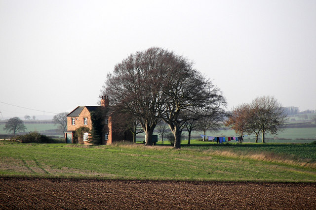
Image: © David Wright Taken: 29 Nov 2006
Photo taken from the Great Limber to Caistor road. For a picture taken from the Kirmington to Caistor road see Image
Images are licensed for reuse under creativecommons.org/licenses/by-sa/2.0
Image Location
Latitude
53.527869
Longitude
-0.307351