Bridge 73, Grand Junction Canal
Introduction
The photograph on this page of Bridge 73, Grand Junction Canal by Mr Biz as part of the Geograph project.
The Geograph project started in 2005 with the aim of publishing, organising and preserving representative images for every square kilometre of Great Britain, Ireland and the Isle of Man.

There are currently over 7.5m images from over 14,400 individuals and you can help contribute to the project by visiting https://www.geograph.org.uk
Bridge 73, Grand Junction Canal
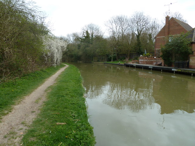
Image: © Mr Biz Taken: 31 Mar 2012
According to an 1881 edition of the O/S map, a swing bridge was located in this position. Signs of the smoothed out embankment can still be seen on the north side of the canal in the back garden of a small block of flats in New Bradwell. Contour lines on current day O/S maps also indicate this with a sharp kink to the north in the natural line.
Images are licensed for reuse under creativecommons.org/licenses/by-sa/2.0
Image Location
Latitude
52.064711
Longitude
-0.785261