Winchester - Hockley Viaduct
Introduction
The photograph on this page of Winchester - Hockley Viaduct by Chris Talbot as part of the Geograph project.
The Geograph project started in 2005 with the aim of publishing, organising and preserving representative images for every square kilometre of Great Britain, Ireland and the Isle of Man.

There are currently over 7.5m images from over 14,400 individuals and you can help contribute to the project by visiting https://www.geograph.org.uk
Winchester - Hockley Viaduct
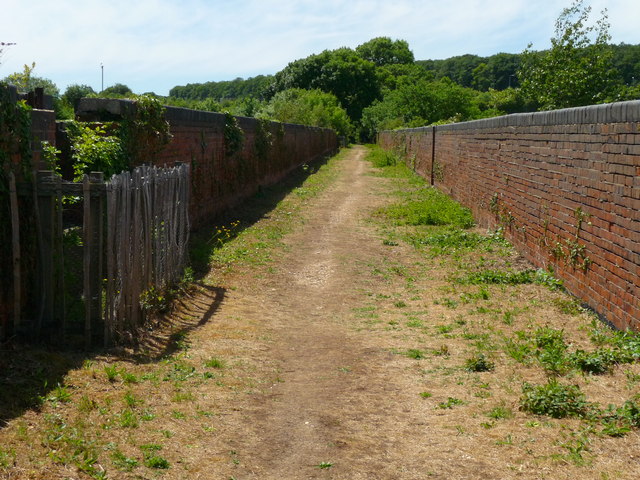
Image: © Chris Talbot Taken: 25 May 2011
The viaduct, originally called the Twyford Viaduct, was built in the 1880s by the London and South Western Railway (LSWR). It provided a link over the River Itchen and water meadows.
Images are licensed for reuse under creativecommons.org/licenses/by-sa/2.0
Image Location


Leaflet Map data © OpenStreetMap
Latitude
51.03617
Longitude
-1.323221