Carshalton: watercourse
Introduction
The photograph on this page of Carshalton: watercourse by Christopher Hilton as part of the Geograph project.
The Geograph project started in 2005 with the aim of publishing, organising and preserving representative images for every square kilometre of Great Britain, Ireland and the Isle of Man.

There are currently over 7.5m images from over 14,400 individuals and you can help contribute to the project by visiting https://www.geograph.org.uk
Carshalton: watercourse
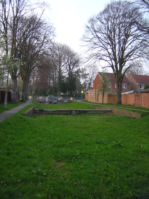
Image: © Christopher Hilton Taken: 30 Mar 2012
Running from Carshalton Park towards the Wandle, this wide strip of land boasts little dams, control sluices and everything one would need for a string of ornamental pools or watercress beds - except for running water.
Images are licensed for reuse under creativecommons.org/licenses/by-sa/2.0
Image Location
Latitude
51.363752
Longitude
-0.159647