Carshalton Park: dry watercourse
Introduction
The photograph on this page of Carshalton Park: dry watercourse by Christopher Hilton as part of the Geograph project.
The Geograph project started in 2005 with the aim of publishing, organising and preserving representative images for every square kilometre of Great Britain, Ireland and the Isle of Man.

There are currently over 7.5m images from over 14,400 individuals and you can help contribute to the project by visiting https://www.geograph.org.uk
Carshalton Park: dry watercourse
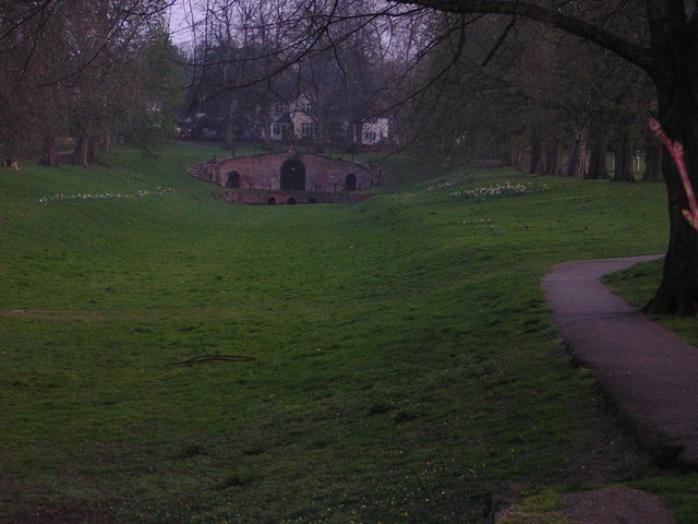
Image: © Christopher Hilton Taken: 30 Mar 2012
Along the east side of Carshalton Park, this depression leading down from what appears to be a spring or fountain-head is clearly intended as a watercourse, but in a dry spring the bed showed no signs of water.
Images are licensed for reuse under creativecommons.org/licenses/by-sa/2.0
Image Location


Leaflet Map data © OpenStreetMap
Latitude
51.361411
Longitude
-0.159453