Pasture near Mickley Hall
Introduction
The photograph on this page of Pasture near Mickley Hall by Espresso Addict as part of the Geograph project.
The Geograph project started in 2005 with the aim of publishing, organising and preserving representative images for every square kilometre of Great Britain, Ireland and the Isle of Man.

There are currently over 7.5m images from over 14,400 individuals and you can help contribute to the project by visiting https://www.geograph.org.uk
Pasture near Mickley Hall
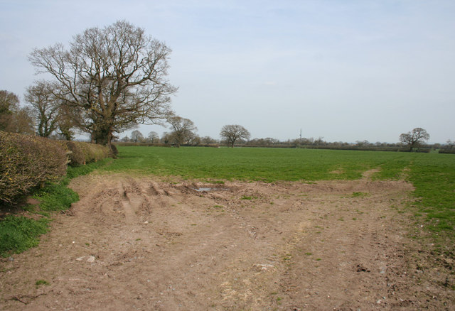
Image: © Espresso Addict Taken: 10 Apr 2010
Flat pasture with hawthorn hedges and occasional deciduous trees at field margins, typical of the area. The mast in the distance is at Hack Green Secret Nuclear Bunker (see Image). View from the junction of French Lane (left) and Mickley Hall Lane
Images are licensed for reuse under creativecommons.org/licenses/by-sa/2.0
Image Location
Latitude
53.023823
Longitude
-2.542485