M53 for Merseyside
Introduction
The photograph on this page of M53 for Merseyside by Peter Whatley as part of the Geograph project.
The Geograph project started in 2005 with the aim of publishing, organising and preserving representative images for every square kilometre of Great Britain, Ireland and the Isle of Man.

There are currently over 7.5m images from over 14,400 individuals and you can help contribute to the project by visiting https://www.geograph.org.uk
M53 for Merseyside
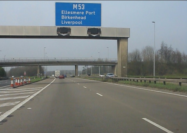
Image: © Peter Whatley Taken: 23 Mar 2012
The "mid-Wirral motorway" strikes out for Merseyside at the M56 junction. Ashwood Lane bridge is in the background.
Images are licensed for reuse under creativecommons.org/licenses/by-sa/2.0
Image Location
Latitude
53.242328
Longitude
-2.86532