Grassland on the west side of Cavehill Lane
Introduction
The photograph on this page of Grassland on the west side of Cavehill Lane by Eric Jones as part of the Geograph project.
The Geograph project started in 2005 with the aim of publishing, organising and preserving representative images for every square kilometre of Great Britain, Ireland and the Isle of Man.

There are currently over 7.5m images from over 14,400 individuals and you can help contribute to the project by visiting https://www.geograph.org.uk
Grassland on the west side of Cavehill Lane
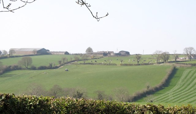
Image: © Eric Jones Taken: 28 Mar 2012
This is an area of drumlins where the land is used for intensive pastoral agriculture, including dairying. The field on the right, which has a crop of autumn seeded grassland, has been newly rolled - hence the striped pattern.
Images are licensed for reuse under creativecommons.org/licenses/by-sa/2.0
Image Location
Latitude
54.289706
Longitude
-6.225523