Site of the former Charterhouse Mission
Introduction
The photograph on this page of Site of the former Charterhouse Mission by Stephen Craven as part of the Geograph project.
The Geograph project started in 2005 with the aim of publishing, organising and preserving representative images for every square kilometre of Great Britain, Ireland and the Isle of Man.

There are currently over 7.5m images from over 14,400 individuals and you can help contribute to the project by visiting https://www.geograph.org.uk
Site of the former Charterhouse Mission
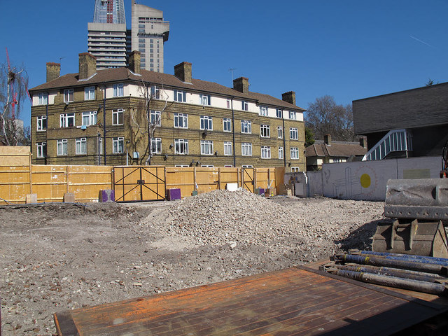
Image: © Stephen Craven Taken: 27 Mar 2012
The mission building Image was demolished in 2011 and construction of the replacement development of apartments, community centre and place of worship would shortly begin. Guy's tower and the lower part of the Shard can be seen in the distance beyond Porlock Street.
Images are licensed for reuse under creativecommons.org/licenses/by-sa/2.0
Image Location
Latitude
51.501016
Longitude
-0.088853