Arable Crops
Introduction
The photograph on this page of Arable Crops by Tony Atkin as part of the Geograph project.
The Geograph project started in 2005 with the aim of publishing, organising and preserving representative images for every square kilometre of Great Britain, Ireland and the Isle of Man.

There are currently over 7.5m images from over 14,400 individuals and you can help contribute to the project by visiting https://www.geograph.org.uk
Arable Crops
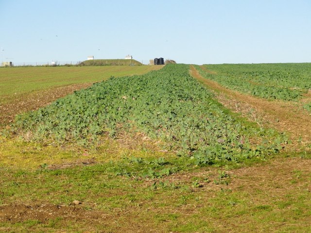
Image: © Tony Atkin Taken: 6 Nov 2011
Looks like brassicas in the foreground and perhaps winter wheat to the left. The long mound on the horizon is a covered reservoir.
Images are licensed for reuse under creativecommons.org/licenses/by-sa/2.0
Image Location
Latitude
50.279601
Longitude
-3.822109