Disused Railway Line near Keith
Introduction
The photograph on this page of Disused Railway Line near Keith by Christopher Gillan as part of the Geograph project.
The Geograph project started in 2005 with the aim of publishing, organising and preserving representative images for every square kilometre of Great Britain, Ireland and the Isle of Man.

There are currently over 7.5m images from over 14,400 individuals and you can help contribute to the project by visiting https://www.geograph.org.uk
Disused Railway Line near Keith
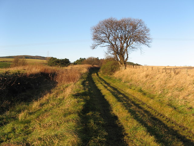
Image: © Christopher Gillan Taken: 1 Dec 2006
This is the former Highland Railway Buckie and Portessie Branch line just to the north west of Keith. The A96 Aberdeen to Inverness road is just to the left of the photo.
Images are licensed for reuse under creativecommons.org/licenses/by-sa/2.0
Image Location
Latitude
57.547999
Longitude
-2.980726