Bridleway and farmland east of Bridgnorth, Shropshire
Introduction
The photograph on this page of Bridleway and farmland east of Bridgnorth, Shropshire by Roger D Kidd as part of the Geograph project.
The Geograph project started in 2005 with the aim of publishing, organising and preserving representative images for every square kilometre of Great Britain, Ireland and the Isle of Man.

There are currently over 7.5m images from over 14,400 individuals and you can help contribute to the project by visiting https://www.geograph.org.uk
Bridleway and farmland east of Bridgnorth, Shropshire
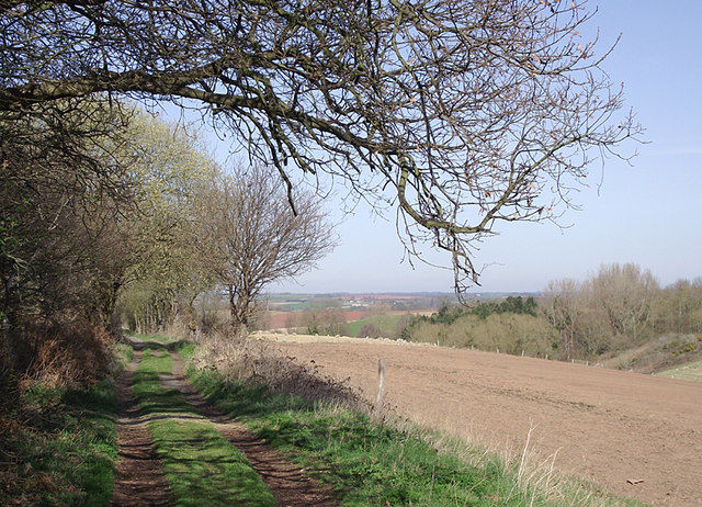
Image: © Roger D Kidd Taken: 25 Mar 2012
The bridleway is passing Stanmore Country Park (off to the left) on the way towards Brook Lane and Hoccum Farm. The valley on the right dips down to Hoccum Pool, which is very shallow at present due to a continuing very dry winter and spring. The fish are suffering on the surface, a passing walker told me.
Images are licensed for reuse under creativecommons.org/licenses/by-sa/2.0
Image Location
Latitude
52.529208
Longitude
-2.374854