Water hazard
Introduction
The photograph on this page of Water hazard by Jonathan Wilkins as part of the Geograph project.
The Geograph project started in 2005 with the aim of publishing, organising and preserving representative images for every square kilometre of Great Britain, Ireland and the Isle of Man.

There are currently over 7.5m images from over 14,400 individuals and you can help contribute to the project by visiting https://www.geograph.org.uk
Water hazard
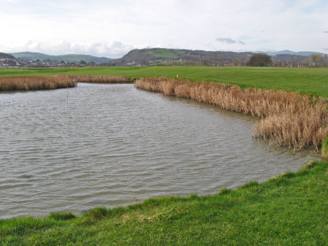
Image: © Jonathan Wilkins Taken: 16 Mar 2012
Ponds on the golf course are the last remnants of the salt marsh occupying low ground before the construction of the adjacent sea wall. In the left background can be seen the gap through which the Afon Ganol drains south-westwards, which was the route of the River Conwy at times during the last ice-age when sea-ice blocked the lower valley.
Images are licensed for reuse under creativecommons.org/licenses/by-sa/2.0
Image Location


Leaflet Map data © OpenStreetMap
Latitude
53.31634
Longitude
-3.760601