Waterlogged fields
Introduction
The photograph on this page of Waterlogged fields by Jonathan Wilkins as part of the Geograph project.
The Geograph project started in 2005 with the aim of publishing, organising and preserving representative images for every square kilometre of Great Britain, Ireland and the Isle of Man.

There are currently over 7.5m images from over 14,400 individuals and you can help contribute to the project by visiting https://www.geograph.org.uk
Waterlogged fields
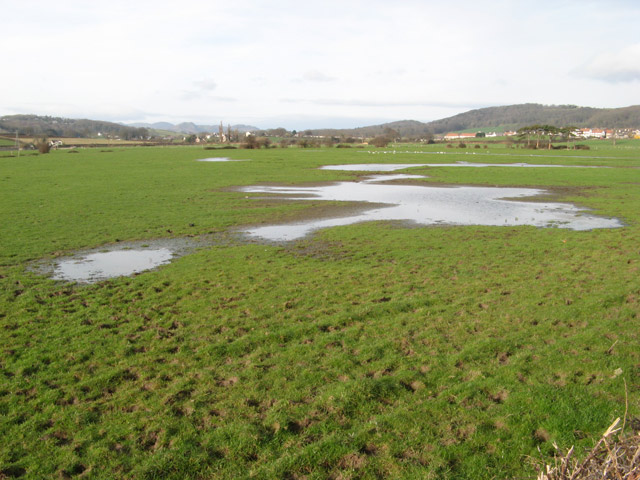
Image: © Jonathan Wilkins Taken: 16 Mar 2012
During Winter these fields are almost permanently waterlogged despite regular attention to ditches and drains. This is due to their location in the remnants of the salt marsh that has been reclaimed following the construction of the sea wall at Penrhyn Bay Image At times during the last ice-age the Conwy Valley drained through this area when the direct route to the sea was clogged with sea-ice. Now the Afon Ganol drains in the opposite direction.
Images are licensed for reuse under creativecommons.org/licenses/by-sa/2.0
Image Location
Latitude
53.311093
Longitude
-3.762787