2012 : Upton Lane heading east and down
Introduction
The photograph on this page of 2012 : Upton Lane heading east and down by Maurice Pullin as part of the Geograph project.
The Geograph project started in 2005 with the aim of publishing, organising and preserving representative images for every square kilometre of Great Britain, Ireland and the Isle of Man.

There are currently over 7.5m images from over 14,400 individuals and you can help contribute to the project by visiting https://www.geograph.org.uk
2012 : Upton Lane heading east and down
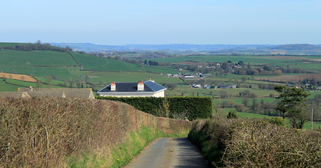
Image: © Maurice Pullin Taken: 25 Mar 2012
Homefield House looks over the hedge and Rattledown Farm keeps out of sight further down the hill. Nortons Hawkfield and Malreward are down there among the farms. The heat haze prevents us seeing detail in the distant hills which are north of Pensford. Heat haze? In March!
Images are licensed for reuse under creativecommons.org/licenses/by-sa/2.0
Image Location
Latitude
51.385768
Longitude
-2.613276