Signpost, Stockland Head Cross
Introduction
The photograph on this page of Signpost, Stockland Head Cross by Derek Harper as part of the Geograph project.
The Geograph project started in 2005 with the aim of publishing, organising and preserving representative images for every square kilometre of Great Britain, Ireland and the Isle of Man.

There are currently over 7.5m images from over 14,400 individuals and you can help contribute to the project by visiting https://www.geograph.org.uk
Signpost, Stockland Head Cross
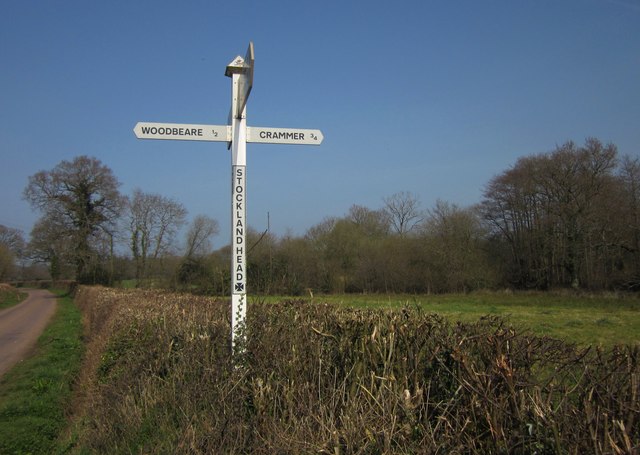
Image: © Derek Harper Taken: 24 Mar 2012
With the road to Dulford on the left. As shown in Image, the junction is a staggered crossroads; the signpost is at the T-junction with the lane to Norman's Green on the left, while the lane across Colliton Moor (which includes the woodland on the right) to Crammer is 20 metres behind the camera.
Images are licensed for reuse under creativecommons.org/licenses/by-sa/2.0
Image Location


Leaflet Map data © OpenStreetMap
Latitude
50.833889
Longitude
-3.321578