Rhiwabon allotment gardens
Introduction
The photograph on this page of Rhiwabon allotment gardens by John Haynes as part of the Geograph project.
The Geograph project started in 2005 with the aim of publishing, organising and preserving representative images for every square kilometre of Great Britain, Ireland and the Isle of Man.

There are currently over 7.5m images from over 14,400 individuals and you can help contribute to the project by visiting https://www.geograph.org.uk
Rhiwabon allotment gardens
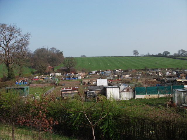
Image: © John Haynes Taken: 24 Mar 2012
About a hectare of the field at Fron Goch is allotment gardens.
Images are licensed for reuse under creativecommons.org/licenses/by-sa/2.0
Image Location
Latitude
52.987859
Longitude
-3.032132