The priests plot at Annaclone Chapel
Introduction
The photograph on this page of The priests plot at Annaclone Chapel by Eric Jones as part of the Geograph project.
The Geograph project started in 2005 with the aim of publishing, organising and preserving representative images for every square kilometre of Great Britain, Ireland and the Isle of Man.

There are currently over 7.5m images from over 14,400 individuals and you can help contribute to the project by visiting https://www.geograph.org.uk
The priests plot at Annaclone Chapel
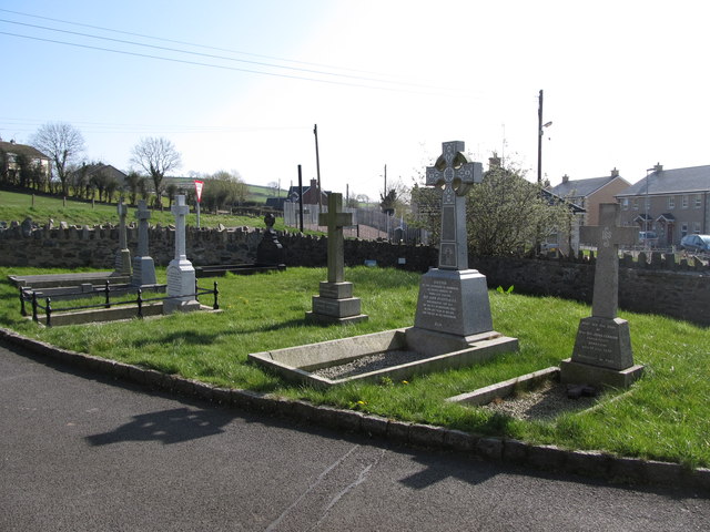
Image: © Eric Jones Taken: 28 Mar 2012
These are graves of the former parish priests of St Colman's Catholic Church, Annaclone. The plot is situated between the church and the B10 (Monteith Road).
Images are licensed for reuse under creativecommons.org/licenses/by-sa/2.0
Image Location
Latitude
54.300697
Longitude
-6.197245