Studfield Hill near Studfield Rise
Introduction
The photograph on this page of Studfield Hill near Studfield Rise by Alan Murray-Rust as part of the Geograph project.
The Geograph project started in 2005 with the aim of publishing, organising and preserving representative images for every square kilometre of Great Britain, Ireland and the Isle of Man.

There are currently over 7.5m images from over 14,400 individuals and you can help contribute to the project by visiting https://www.geograph.org.uk
Studfield Hill near Studfield Rise
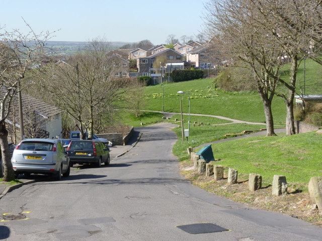
Image: © Alan Murray-Rust Taken: 27 Mar 2012
At this point the road still shows some of the characteristics of its early existence as a country lane. Much of the green area was formerly a ganister (fireclay) quarry.
Images are licensed for reuse under creativecommons.org/licenses/by-sa/2.0
Image Location
Latitude
53.40525
Longitude
-1.52645