Pittville Lake western end
Introduction
The photograph on this page of Pittville Lake western end by Terry Jacombs as part of the Geograph project.
The Geograph project started in 2005 with the aim of publishing, organising and preserving representative images for every square kilometre of Great Britain, Ireland and the Isle of Man.

There are currently over 7.5m images from over 14,400 individuals and you can help contribute to the project by visiting https://www.geograph.org.uk
Pittville Lake western end
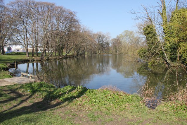
Image: © Terry Jacombs Taken: 28 Mar 2012
Pittville has two lakes. The one in the more formal Pittville Park area on the eastern side of the Evesham Road and this one used for boating in the less formal part of the park on the western side of the Evesham Road.
Images are licensed for reuse under creativecommons.org/licenses/by-sa/2.0
Image Location
Latitude
51.910009
Longitude
-2.075982