Allt Tairbh
Introduction
The photograph on this page of Allt Tairbh by Richard Webb as part of the Geograph project.
The Geograph project started in 2005 with the aim of publishing, organising and preserving representative images for every square kilometre of Great Britain, Ireland and the Isle of Man.

There are currently over 7.5m images from over 14,400 individuals and you can help contribute to the project by visiting https://www.geograph.org.uk
Allt Tairbh
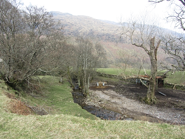
Image: © Richard Webb Taken: 24 Mar 2012
A burn falling off Beinn na Cille reaches flat ground on the side of Loch Linnhe.
Images are licensed for reuse under creativecommons.org/licenses/by-sa/2.0
Image Location
Latitude
56.734329
Longitude
-5.255398