#28 Newlands Avenue
Introduction
The photograph on this page of #28 Newlands Avenue by Roger Templeman as part of the Geograph project.
The Geograph project started in 2005 with the aim of publishing, organising and preserving representative images for every square kilometre of Great Britain, Ireland and the Isle of Man.

There are currently over 7.5m images from over 14,400 individuals and you can help contribute to the project by visiting https://www.geograph.org.uk
#28 Newlands Avenue
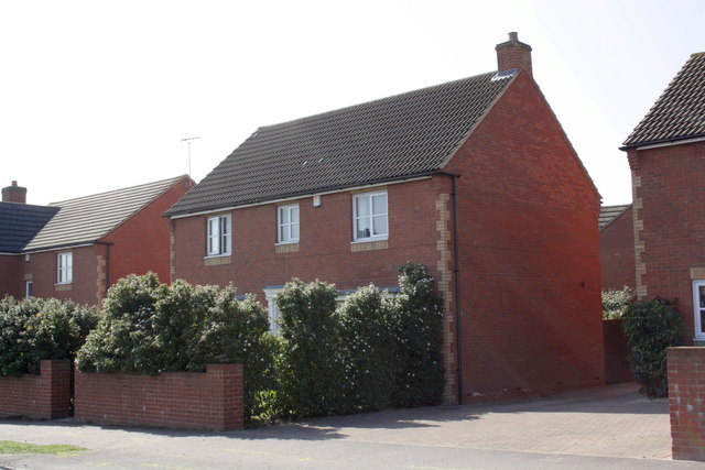
Image: © Roger Templeman Taken: 28 Mar 2012
The Ordnance Survey verified a cut mark benchmark ( http://www.bench-marks.org.uk/bm22879 ) on the right end of the wall in front of the house in 1973, but the wall and drive to #30 appear to have been rebuilt in recent years.
Images are licensed for reuse under creativecommons.org/licenses/by-sa/2.0
Image Location
Latitude
51.60444
Longitude
-1.246655