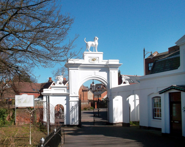
Gateway to Bourne Hall Park
Introduction
The photograph on this page of Gateway to Bourne Hall Park by Des Blenkinsopp as part of the Geograph project.
The Geograph project started in 2005 with the aim of publishing, organising and preserving representative images for every square kilometre of Great Britain, Ireland and the Isle of Man.
There are currently over 7.5m images from over 14,400 individuals and you can help contribute to the project by visiting https://www.geograph.org.uk

Image: © Des Blenkinsopp Taken: 26 Mar 2012
Bourne Hall Park consists of ornamental gardens around the lake that is the source of the Hogsmill River, and Bourne Hall itself which is a unique modern building. http://www.epsom-ewell.gov.uk/EEBC/Leisure+and+Culture/Bourne+Hall/default.htm The park has been open to the public since 1970 when the current building was opened as a local library, museum and facility. This replaced a large eighteenth century house on the site, known as Garbrand Hall, which had fallen into disuse; it was last used as a school. The London Loop long distance path goes through the park.

