The northern fringe of Bournemouth
Introduction
The photograph on this page of The northern fringe of Bournemouth by Peter Kazmierczak as part of the Geograph project.
The Geograph project started in 2005 with the aim of publishing, organising and preserving representative images for every square kilometre of Great Britain, Ireland and the Isle of Man.

There are currently over 7.5m images from over 14,400 individuals and you can help contribute to the project by visiting https://www.geograph.org.uk
The northern fringe of Bournemouth
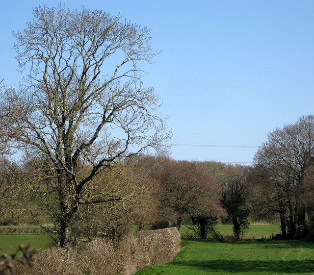
Image: © Peter Kazmierczak Taken: 28 Mar 2012
Looking across fields from the end of Castleton Avenue, between Kinson and Ensbury.
Images are licensed for reuse under creativecommons.org/licenses/by-sa/2.0
Image Location
Latitude
50.773971
Longitude
-1.890747