St Peter's Church
Introduction
The photograph on this page of St Peter's Church by Roger Templeman as part of the Geograph project.
The Geograph project started in 2005 with the aim of publishing, organising and preserving representative images for every square kilometre of Great Britain, Ireland and the Isle of Man.

There are currently over 7.5m images from over 14,400 individuals and you can help contribute to the project by visiting https://www.geograph.org.uk
St Peter's Church
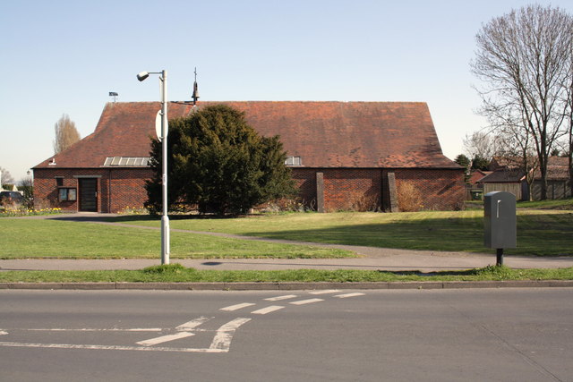
Image: © Roger Templeman Taken: 26 Mar 2012
View across Newlands Avenue at the junction with Oatland Road. The grey Royal Mail cabinet replaced a letter box with an Ordnance Survey cut mark benchmark, see http://www.bench-marks.org.uk/bm22878
Images are licensed for reuse under creativecommons.org/licenses/by-sa/2.0
Image Location
Latitude
51.602555
Longitude
-1.247119