Catsclough Crossing on Whitegate Way
Introduction
The photograph on this page of Catsclough Crossing on Whitegate Way by Raymond Knapman as part of the Geograph project.
The Geograph project started in 2005 with the aim of publishing, organising and preserving representative images for every square kilometre of Great Britain, Ireland and the Isle of Man.

There are currently over 7.5m images from over 14,400 individuals and you can help contribute to the project by visiting https://www.geograph.org.uk
Catsclough Crossing on Whitegate Way
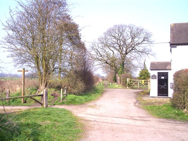
Image: © Raymond Knapman Taken: 24 Mar 2012
The former site of a level crossing, where the railway lines of the former Winsford and Over Branch may be seen crossing the road.
Images are licensed for reuse under creativecommons.org/licenses/by-sa/2.0
Image Location
Latitude
53.205438
Longitude
-2.534746