High Rid Reservoir
Introduction
The photograph on this page of High Rid Reservoir by David Dixon as part of the Geograph project.
The Geograph project started in 2005 with the aim of publishing, organising and preserving representative images for every square kilometre of Great Britain, Ireland and the Isle of Man.

There are currently over 7.5m images from over 14,400 individuals and you can help contribute to the project by visiting https://www.geograph.org.uk
High Rid Reservoir
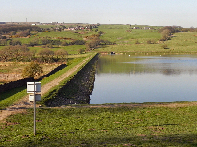
Image: © David Dixon Taken: 27 Mar 2012
The dam and footpath at the western end of High Rid Reservoir. High Rid is a relatively small, stone-sided reservoir approx three miles to the west of Bolton town centre on the hill between Chorley New Road (A673) and Chorley Old Road (B6226) towards Horwich.
Images are licensed for reuse under creativecommons.org/licenses/by-sa/2.0
Image Location
Latitude
53.588026
Longitude
-2.507087