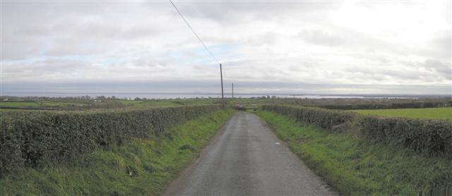
Road at Lenadremnagh
Introduction
The photograph on this page of Road at Lenadremnagh by Kenneth Allen as part of the Geograph project.
The Geograph project started in 2005 with the aim of publishing, organising and preserving representative images for every square kilometre of Great Britain, Ireland and the Isle of Man.
There are currently over 7.5m images from over 14,400 individuals and you can help contribute to the project by visiting https://www.geograph.org.uk

Image: © Kenneth Allen Taken: 28 Nov 2006
Looking south-east towards the Duckingstool Point area of Lough Neagh which is the place where those suspected of being witches were tried. Hapless suspects were tossed into the Lough here and if they floated they were obviously possessed of evil powers and were put to death. If they sank then they were not thought to be possessed but had, by definition, drowned already. It's not known if witchcraft was a major problem here, but I doubt if sales of brooms and pointy hats were too high!

